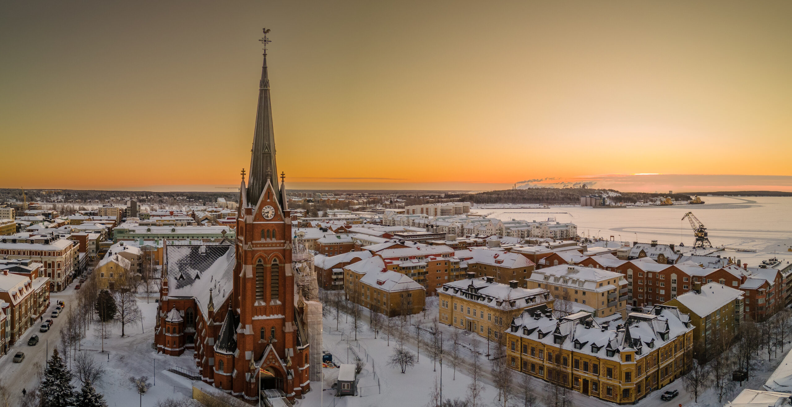
SNOWSENSE is a pilot by infrared.city (Infrared City GmbH) for the City of Luleå, supported by EIT Urban Mobility’s RAPTOR programme. The goal is to make winter cycling and walking safer and empower citizens to choose active mobility means in a subarctic city.
Northern winters make active travel difficult: snow, ice and rapidly changing conditions leave citizens unsure whether it is safe to cycle or walk, while city operators have only a limited, largely manual picture of street conditions. Today, checks rely on staff driving out to inspect routes, and citizens receive little timely information.
SNOWSENSE builds on infrared.city’s core technology: fast artificial intelligence (AI) optimised climate simulations of the urban environment that produce street-level comfort information updated hourly across the whole city. Wind, thermal comfort and solar access all impact cycling comfort. These simulations are combined with trusted municipal data (building models, road and cycling networks, snow-clearing priorities) and live weather data and are processed into cycling viability predictors.
The result is two connected tools. City operators get a dashboard with alerts, scenario testing and automated workflows to plan winter maintenance and communicate conditions. Citizens get a public route planner showing the most comfortable, safest way to cycle or walk. While built for winter conditions, it works year-round, supporting summertime travel by finding shaded, cooler routes. The pilot runs from July to December 2026 across Luleå (approximately 25 square kilometres), with a focus area for advanced features. It is developed with the support of the municipality’s geographic information system (GIS) and transport department, its winter road maintenance team and local cyclists. It aims to demonstrate a scalable, data-driven approach to safer active mobility in cold-climate cities.