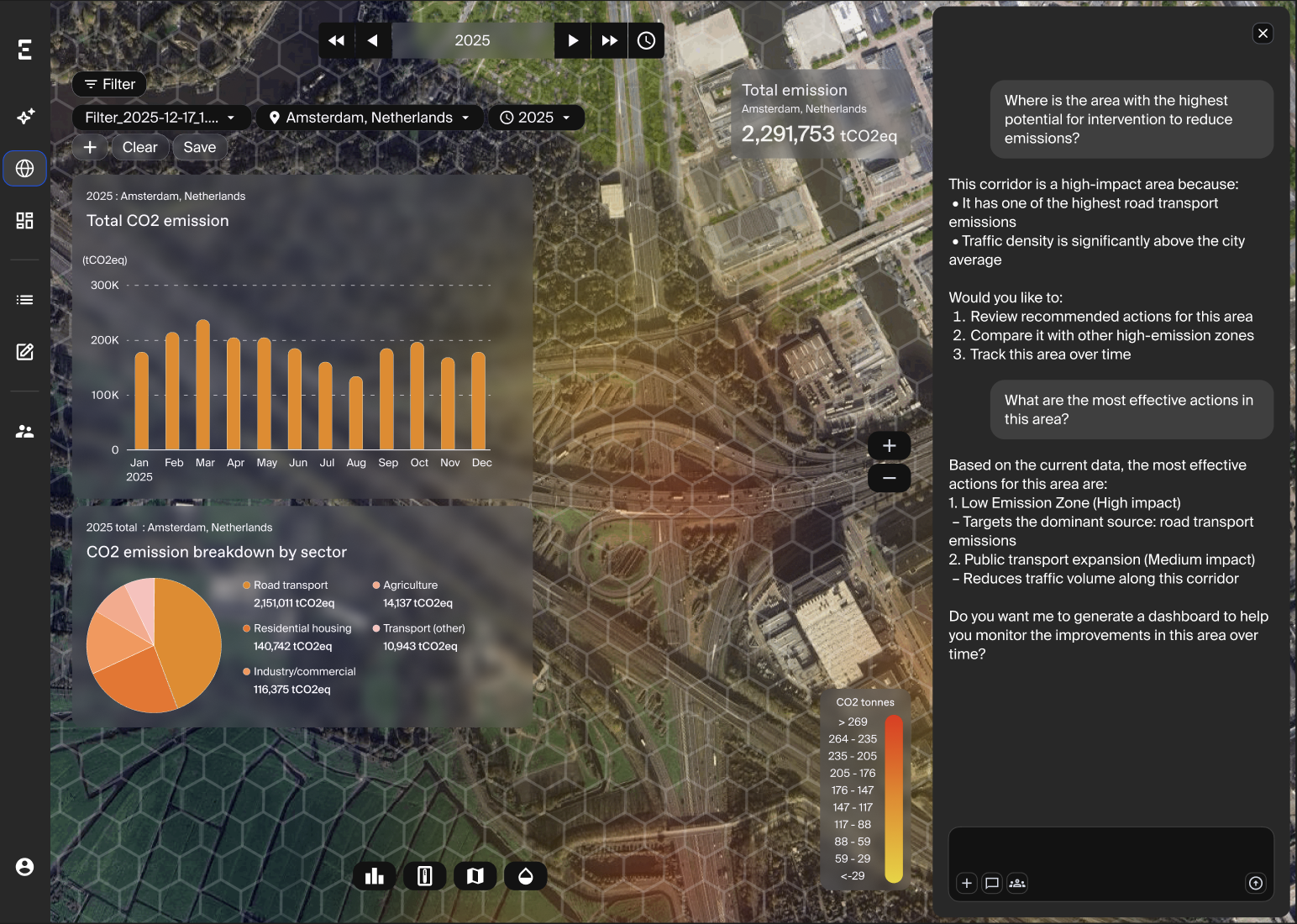
Cities generate over 70% of global carbon emissions and need reliable, timely and affordable data to plan, finance and report on decarbonisation. Currently, they lack real-time, verified data and rely on infrequent estimates from fuel sales and traffic models, which makes adaptive policy management slow and ineffective.
The SMUCE project aims to solve this data gap by developing a next-generation carbon monitoring infrastructure. Taking place from 2026 to 2028, the project is coordinated by Everimpact and involves cross-sector collaboration with the Generalized Retrieval of Atmosphere and Surface Properties (GRASP) algorithm, the French National Centre for Scientific Research (CNRS), the City of Mechelen and the Paris Region.
The project will deploy a physical network of connected internet of things (IoT) ground sensors capable of measuring CO2 concentrations in real-time across high-traffic urban corridors and delivery zones. These ground data are fused with proprietary data from a pioneering low-orbit satellite: the first of its kind to offer multi-gas monitoring, tracking CO2, CH4 and particulate matter (PM2.5 and PM10). This cutting-edge satellite instrument delivers high-resolution mapping at 100 metres. It achieves a rigorous 1 part per million (ppm) precision standard for CO2. The combined space and ground data are then processed through a physics-informed AI platform to attribute emissions directly at the source level.
By providing municipal policymakers with a co-designed “carbon dashboard”, the project allows cities to measure the immediate atmospheric impact of mobility regulations, such as low-emission zones or logistics restrictions. Ultimately, this infrastructure will drastically reduce monitoring costs for cities and enable data-driven investment decisions, helping to redirect billions in urban mobility funds toward the highest-impact interventions.