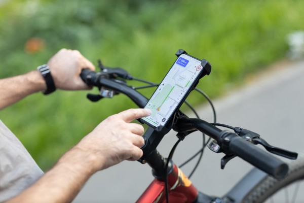
ORBIS (Open Routing for Bike Intermodal Systems) is a project that turns the city of Trento’s existing cycling network into a smart digital service. Its aim is simple: help people choose the safest and most comfortable bike routes, not just the shortest ones.
The problem is that many cities, Trento included, have invested heavily in cycling infrastructure, yet a lot of it is underused. The reasons are practical: information is scattered across different tools, people worry about safety, and existing map apps only optimise for distance. A steep hill, a poorly lit street, or a stretch with heavy traffic can be enough to discourage a family, a woman riding alone at night or a first-time cyclist.
This gap between public investment and everyday use is what inspired the project. The main objective was to build and test an app that plans bike trips based on real conditions: slope, traffic exposure, lighting, type of path, bike-parking availability and even climate comfort, such as avoiding urban heat in summer or icy sections in winter. Users can pick tailored modes: safe, family-friendly, low-slope or well-lit.
To tackle the problem, fragmented municipal datasets (the Bicipolitana cycling network, parking, bike sharing and planned routes) were brought together in a single platform. A routing engine was added and a dashboard for the municipality to see how the network is actually used. The project was led by Superurbanity, a small urban-technology company, working closely with the Municipality of Trento and its cycling community. It ran as a six-month pilot in Trento in 2026, testing the app with hundreds of local cyclists and families along the main Bicipolitana corridors, and sharing results openly through a public dashboard and city workshops.