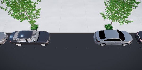
Popcurb is a smart curbside platform that helps drivers find available parking in real time and gives cities data to optimise how kerb space is used across parking and loading zones. It combines curbside sensors that work even on unmarked, continuous kerb, providing the city with an analytics dashboard and a report with recommendations for optimised use and allocation of loading zones.
In the RAPTOR 2026 pilot, Popcurb is applied to a number of Wiesbaden’s loading and delivery zones. Cities today allocate kerb space largely blindly: they cannot tell which zones are saturated with driving, double-parking, congestion and safety issues, and which are underused. Wiesbaden’s aim is to monitor, analyse and manage its network of loading zones on an objective, data-driven basis.
Curbside sensors capture, in real time and over time, each zone’s occupancy, parking duration, vehicle turnover, vehicle type and compliance of use, feeding the city dashboard. Popcurb aggregates this into a single, city-level indicator – the loading-zone imbalance/saturation rate – showing where and when demand exceeds supply. The pilot runs from July to December 2026, with in-situ demonstration in the city centre. It gives Wiesbaden a factual, continuous picture of a public asset previously assessed only through occasional manual surveys, enabling evidence-based decisions to keep, relocate, resize or rebalance kerb capacity, and a repeatable method that is transferable across its network.